

Nomination
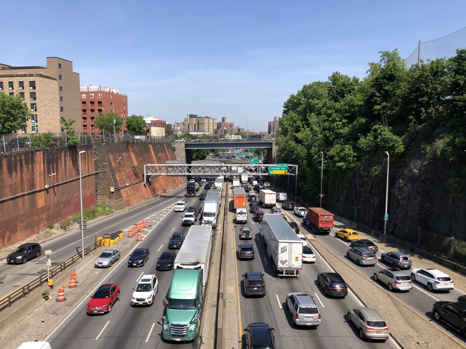
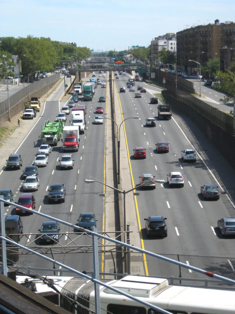
The Cross Bronx Expressway is a roughly 7.5-mile (12 km) urban motorway in the Bronx, New York City, built largely between 1948 and 1972 and opened in 1963. Conceived and advanced within the mid-century highway programme associated with Robert Moses, it became part of Interstate 95 and remains one of the busiest freight and commuter corridors in the United States.
Its central failure was not simply congestion. The expressway was driven through dense, largely working-class and minority neighbourhoods, demolishing homes and dividing communities that had previously been continuous. New York City’s own planning history records displacement, physical separation, poorer air quality and subsequent disinvestment as direct consequences of this and related highway construction.
The road did not merely carry traffic; it reorganised the borough around it. Crossings became fewer, longer and less pleasant; local streets were subordinated to ramps, embankments and through-traffic; and neighbourhoods on either side were left with a concrete seam rather than a shared public realm. In effect, the expressway converted a dense urban fabric into a corridor for cars, trucks and exhaust.
New York City and New York State have since acknowledged the damage. Their 2025 Reimagine the Cross Bronx report describes the expressway as having divided the borough and harmed local health, safety and economies, and proposes capping sections, improving transit and accessibility, and redesigning streets. That the city now treats the road as a problem to be repaired is itself a measure of how completely the original planning assumption failed.
Fact Check
- [Construction dates and displacement figures] — NYC DOT, Reimagine the Cross Bronx Expressway Final Vision
- [1963 opening, displacement, air quality, disinvestment] — NYC Department of City Planning, Study Area History
- [Official framing of division, health, safety and proposed remedies] — NYC DOT press release, March 2025
- [Local account of the expressway bisecting Morris Heights] — Bronx Community Board 5
- [Scope of the 2025 study] — NYC DOT Library
Citation Statement
The Anti Heritage List recognizes the Cross Bronx Expressway for its remarkable ability to turn a dense, living borough into a corridor for through-traffic. Built in the mid-20th century, it displaced residents, severed neighbourhoods and left a lasting barrier that the city itself now seeks to repair.
Leave a Reply